Anna Koch · 14 September 2026
Community-Led Analysis of Harbour Data Sparks New Approaches to Tracking Marine Changes
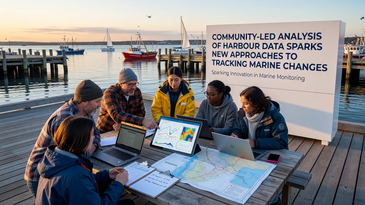
Harbour environments serve as critical interfaces between terrestrial and marine ecosystems, where shifts in temperature, salinity, nutrient levels, and biodiversity often signal broader oceanic trends, and community groups have begun compiling long-term datasets from these locations that complement official monitoring networks. Local residents equipped with standardized protocols collect water samples, photograph species distributions, and log acoustic readings, then share results through open platforms that allow cross-comparison across multiple sites.
Origins of Volunteer Data Networks
Early efforts emerged from port-adjacent neighborhoods concerned about industrial runoff, and participants soon realized that consistent, fine-scale observations could reveal seasonal patterns invisible to quarterly agency surveys. Training sessions organized by regional marine institutes teach proper calibration of handheld devices, while shared spreadsheets evolve into relational databases that track variables such as dissolved oxygen and chlorophyll-a concentrations over successive years. These repositories now feed into regional models that forecast algal bloom onset with greater spatial resolution than satellite imagery alone permits.
Integration with Professional Sensors
Harbour authorities in several countries have started embedding community-collected readings into existing sensor arrays, adjusting buoy calibration schedules when volunteer reports flag anomalies between fixed stations. In one documented workflow, weekly pH measurements from dockside volunteers triggered additional autonomous underwater vehicle deployments that confirmed localized acidification events linked to freshwater pulses. Such hybrid systems reduce gaps in temporal coverage and lower operational costs for agencies responsible for large coastal stretches.
Technological Tools Enabling Broader Participation
Mobile applications now guide users through data entry with built-in quality checks, while low-cost multiparameter probes connect via Bluetooth to tablets for immediate upload. Open-source scripts convert raw files into standardized formats compatible with national oceanographic databases, and machine-learning classifiers trained on expert-labeled images help volunteers identify plankton taxa during routine counts. These tools have expanded the geographic reach of monitoring programs into smaller harbours previously lacking dedicated staff.
September 2026 marks the scheduled release of an updated global harbour dataset that incorporates five years of volunteer observations from thirty participating sites, allowing researchers to test new statistical methods for detecting regime shifts in nearshore communities. Preliminary comparisons indicate that community-derived chlorophyll trends align closely with ferry-box measurements along established shipping routes, strengthening confidence in the combined record.
Case Examples from Distinct Regions
Along the Australian coastline, citizen teams in Port Phillip Bay have documented changes in seagrass extent that coincide with altered current patterns following port expansion, and their mapped polygons now inform hydrodynamic models maintained by CSIRO. In the Baltic region, school groups sampling harbour entrances have supplied nitrate data that refine nutrient load estimates used by the Helsinki Commission for compliance assessments. North American ports around the Gulf of Maine have integrated volunteer temperature logs into lobster habitat suitability projections issued by NOAA Fisheries, demonstrating how distributed observations improve forecast skill at sub-bay scales.
Challenges in Data Standardization and Quality
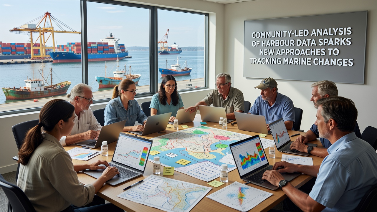
Despite growing adoption, differences in sampling frequency, device calibration, and taxonomic resolution require ongoing harmonization efforts. Working groups composed of both professional oceanographers and community coordinators develop metadata templates that record instrument serial numbers, observer experience levels, and environmental conditions at collection time. Intercomparison exercises conducted at central laboratories verify probe accuracy, while outlier detection algorithms flag entries that deviate markedly from neighboring stations or historical ranges.
Funding models vary from municipal grants that purchase equipment for schools to philanthropic support that covers cloud storage and server maintenance for shared repositories. Long-term sustainability depends on demonstrating that community datasets contribute measurable improvements to regulatory reporting and ecological forecasting products.
Emerging Analytical Methods
Advanced techniques such as Gaussian process regression now blend irregularly spaced volunteer observations with continuous sensor streams, producing uncertainty estimates that reflect both measurement error and spatial variability. Network analysis applied to species co-occurrence records from multiple harbours identifies potential indicator assemblages whose abundance shifts may precede larger ecosystem reorganizations. These approaches rely on the density of observations that only widespread volunteer participation can supply.
Conclusion
Community-led analysis of harbour data continues to expand the resolution and reach of marine change tracking systems, with integration into official programs accelerating in multiple regions. As standardized protocols, open tools, and hybrid analytical frameworks mature, the resulting datasets support more responsive management of coastal resources while engaging residents directly in the scientific process. Ongoing releases of combined records, including the September 2026 compilation, will further test the utility of these participatory approaches for detecting and attributing marine environmental shifts.