Sam Lange · 9 November 2026
Real-Time Sensor Networks Unlock Fresh Perspectives on Salinity Fluctuations in Coastal Estuaries
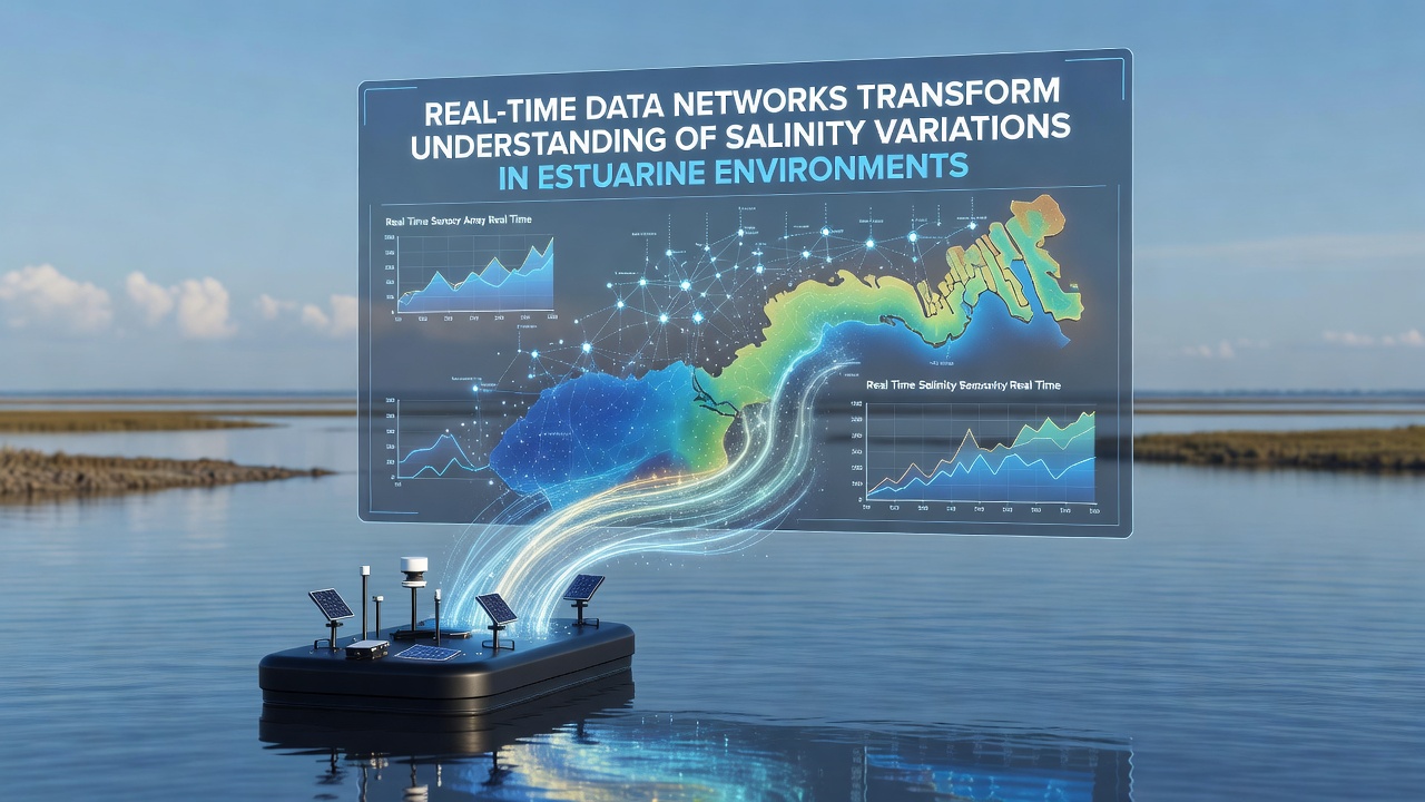
Real-time data networks now capture salinity changes across estuarine zones with precision that earlier manual sampling methods could not achieve, and researchers integrate these streams from multiple sensor stations to map variations driven by tides, freshwater inflows, and seasonal shifts. Systems deployed in several regions transmit readings every few minutes, which allows teams to track rapid transitions that occur during storm events or drought periods. Data collected this way reveals layered salinity structures within the water column that single-point measurements often miss.
Network Design and Sensor Placement
Engineers position arrays of conductivity-temperature-depth sensors at strategic depths and locations along estuary channels, while buoy-mounted units handle surface conditions and fixed seabed platforms record deeper layers. Power comes from solar panels paired with battery storage, and data routes through cellular or satellite links to central servers. Calibration routines run automatically at set intervals to maintain accuracy, and cross-checks against laboratory samples confirm readings remain within acceptable error margins. Observers note that such configurations have expanded in recent years because they reduce the need for frequent field visits yet still deliver high-resolution records.
One project along the Australian coast combined fixed sensors with drifting profilers, and results showed salinity fronts moving several kilometers in a single tidal cycle. Similar setups in North American estuaries have documented how wind-driven mixing alters vertical gradients within hours. These examples illustrate how network density influences the detail captured in the final datasets.
Insights Gained from Continuous Monitoring
Analysis of multi-year records indicates that salinity intrusion reaches farther upstream during periods of reduced river discharge, and the timing of these events aligns closely with precipitation deficits reported by regional weather services. Researchers compare incoming data streams against historical baselines to identify deviations that exceed normal seasonal ranges. Figures from the European Environment Agency highlight comparable patterns in several Baltic Sea inlets, where real-time feeds have clarified the role of Baltic inflows in moderating local salinity levels.
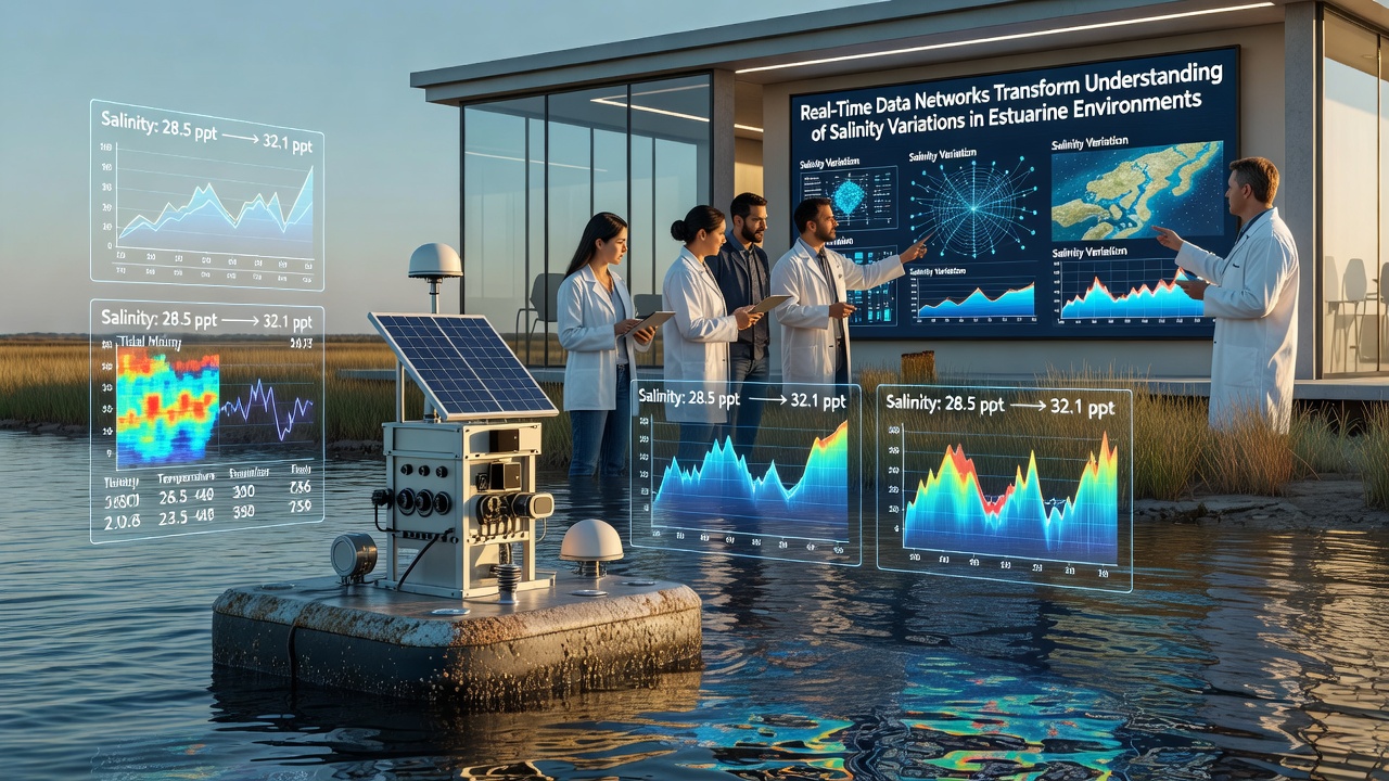
What's interesting is how sudden rainfall pulses create temporary low-salinity lenses that persist longer than models previously predicted, and these layers affect nutrient distribution and light penetration. Teams processing the data apply machine-learning filters to separate tidal signals from longer-term trends, which sharpens detection of gradual shifts linked to broader climate patterns. In November 2026 a joint workshop hosted by North American and European agencies will review standardized protocols for merging datasets from different networks, aiming to improve cross-regional comparisons.
Integration with Modeling and Forecasting
Modelers now ingest live salinity observations to update hydrodynamic simulations every few hours, and forecast accuracy for salt-wedge positions has improved as a result. Government agencies in Canada and Australia publish updated salinity outlook products that draw directly on these network feeds, giving coastal managers earlier warnings about potential impacts on water intakes or habitat zones. Studies published through academic channels demonstrate that assimilation of high-frequency data reduces uncertainty in projections spanning weeks to months.
But here's the thing: gaps still exist where sensor coverage remains sparse, particularly in smaller tributary arms, and researchers continue to test low-cost additions that could fill those voids without compromising data quality. Collaboration between institutions helps share maintenance expertise and spare parts, keeping overall system uptime high.
Conclusion
Real-time networks continue to expand the spatial and temporal resolution available for salinity studies in estuaries, and the resulting datasets support more responsive management decisions across multiple jurisdictions. As additional stations come online and data-sharing agreements strengthen, the picture of dynamic salt distribution grows clearer, though sustained funding and coordinated calibration remain essential for long-term continuity.