Katja Lehmann · 28 September 2026
Shifting Aquatic Species Patterns Linked to Vessel Activity in Monitored Harbours
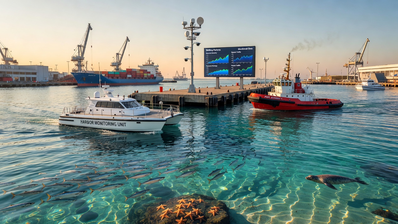
Harbour monitoring programs track vessel movements alongside changes in aquatic species distributions, and data from multiple regions show measurable shifts in migration routes, feeding areas, and population densities where shipping traffic increases. Researchers compile automatic identification system records with acoustic and visual surveys to quantify these interactions, while environmental agencies coordinate long-term datasets that span several decades.
Vessel Traffic Records and Monitoring Methods
Ports in Europe, North America, and the Asia-Pacific region maintain continuous logs of vessel arrivals, speeds, and routes, and these records reveal steady growth in commercial traffic since the early 2000s. Fisheries and Oceans Canada integrates vessel tracking with underwater sound monitoring stations that capture noise levels across frequency bands known to overlap with marine mammal communication ranges. Observers note that container ships and tankers contribute the largest share of low-frequency noise, whereas smaller recreational craft add intermittent high-frequency components during peak seasons.
Automated systems deployed at harbour entrances log engine signatures and propeller cavitation events, and analysts cross-reference these events with species sighting reports collected by trained observers on fixed platforms. In September 2026 several harbour networks plan to upgrade sensor arrays to include real-time particle tracking that distinguishes sediment resuspension caused by vessel wakes from natural tidal flows.
Observed Changes in Species Distributions
Studies conducted in the North Sea and along the Pacific coast of Canada document altered residency patterns among harbour porpoises and certain fish species when vessel density exceeds established thresholds. Data indicate that some demersal fish move to deeper channel margins during periods of concentrated shipping, while pelagic species occasionally aggregate in adjacent bays that experience lower traffic. Acoustic telemetry tags attached to individual animals provide fine-scale movement data that researchers compare against simultaneous vessel position logs.
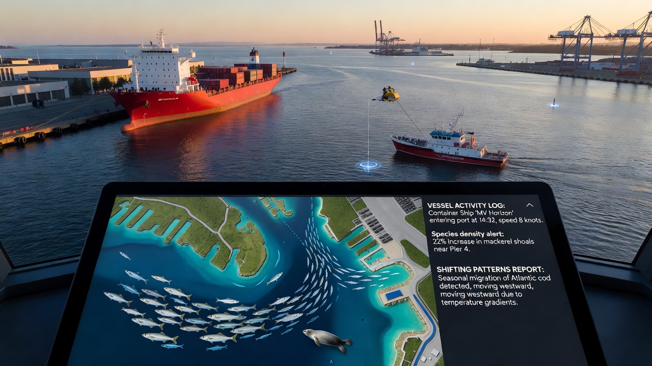
According to reports from Fisheries and Oceans Canada, tagged Atlantic cod in one monitored inlet showed repeated avoidance of shallow feeding grounds on days when ferry schedules doubled. Similar patterns appear in Australian port studies where snapper populations shifted spawning aggregations several kilometres from the main shipping lane after a new container terminal opened. These displacements occur alongside changes in prey availability because benthic communities experience physical disturbance from propeller wash and anchoring activities.
Mechanisms Connecting Traffic and Ecological Responses
Noise from vessel engines masks echolocation clicks used by odontocetes, and reduced foraging efficiency has been measured through stomach content analysis and dive behaviour logging. Collision risk rises in narrow harbour entrances where manoeuvring vessels overlap with seasonal migration corridors, and carcass recovery data compiled by NOAA Fisheries indicate higher strike rates for large whales during months of elevated bulk carrier traffic. Sediment plumes generated by vessel propulsion can temporarily reduce light penetration, affecting primary production that supports zooplankton communities and, in turn, fish larvae that rely on those prey fields.
Harbour authorities mitigate some effects through speed restrictions and designated no-anchoring zones, yet enforcement varies and compliance monitoring relies on radar cross-checks with reported positions. Long-term datasets allow statistical separation of vessel-related impacts from broader climate-driven changes in water temperature and salinity that also influence species ranges.
Regional Case Examples and Data Integration
One European harbour network combined five years of vessel automatic identification system data with monthly fish trawl surveys and found that demersal biomass declined by measurable percentages within 500 metres of the main fairway while biomass increased in peripheral zones. Canadian researchers applied similar methods in a fjord system and documented earlier spring migrations of eulachon coinciding with the start of seasonal cruise ship operations. Australian port authorities reported parallel observations where dolphin groups altered surfacing intervals when pilot boats approached within defined distances.
Integration platforms now merge these disparate datasets into unified dashboards that display vessel density heat maps overlaid with species occurrence layers, allowing managers to identify conflict hotspots in near real time. Calibration of these models continues through controlled experiments that compare periods of reduced traffic, such as maintenance shutdowns, against baseline conditions.
Conclusion
Continuous monitoring across multiple harbours demonstrates that vessel activity correlates with measurable adjustments in aquatic species spatial and temporal patterns, and ongoing sensor upgrades scheduled through 2026 will refine the resolution of these relationships. Coordinated data collection from government agencies and research institutions supplies the factual foundation for understanding these dynamics without reliance on single-region assumptions.